Kansas is home to more than 15,000 archaeological sites containing arrowheads, ceramics and bison bones. Some of those sites, and people’s ability to learn their stories, are in danger.
Dr. Matthew D. Howland, assistant professor in Wichita State University’s Department of Anthropology, is in the early stages of modeling risks posed by erosion caused by rivers, flooding, and agricultural plowing.
Funded by a $49,955 grant from the University of Kansas Center for Research and the Kansas Board of Regents, Howland is first modeling erosion risk at every archaeological site in the state, including Etzanoa near Arkansas City, using satellite imagery and spatial analysis. Kansas is home to 15,835 archaeological sites, according to the Kansas Historical Society.

Matthew Howland
“How many of these sites are at risk, and what’s the level of risk from these factors? That’s the goal of the project,” Howland said. “When you look at (Kansas), we have a whole lot of agriculture, and we have a whole lot of rivers that are crisscrossing the state. It leads self-evidently to try to understand the impact of erosion on the archaeological record.”
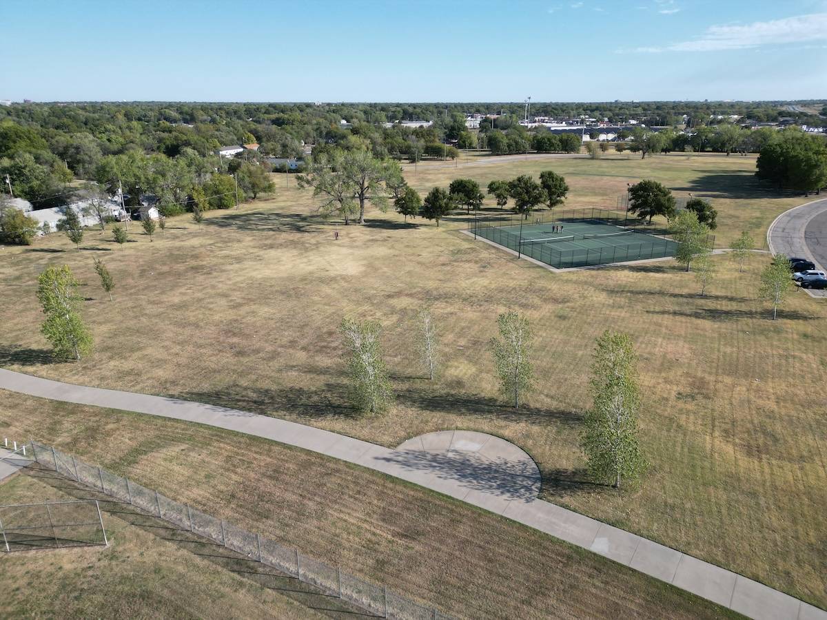
Howland and Wichita State graduate student MJ Jacobs will visit selected sites to record erosion effects by taking pictures with a drone and using hundreds of pictures to create a 3D model. They will visit the site again months later to create a database of change over time.
“We’ll compare those 3D models together and say, ‘What has changed in the 3D shape of this archaeological site?’” Howland said.
Sites such as Etzanoa, the Quindaro Townsite and Fort Scott National Historic Site are among the candidates for Howland and Jacobs to study, though selecting sites to focus on, in collaboration with stakeholders, will only occur once the second phase of the project begins.
Etzanoa, a major Native American settlement discovered by Dr. Don Blakeslee, professor emeritus of anthropology and archaeologist at Wichita State, is located near the mouth of the Walnut River. Etzanoa may have contained about 20,000 residents in 1601. In 2018, Blakeslee discovered Etzanoa and work continues on the site. It is believed that the Wichita tribe are direct descendants from the inhabitants.
“You can see the river coming right along adjacent to the site,” Howland said. “We would expect probably a lot of erosion in this whole area, potentially impacting this site.”
Jacobs, who is working on her master’s degree in archaeology, is working on her drone license so she can help with the 3D modeling and photogrammetry (the science of recording, measuring and interpreting photographic images). Photogrammetry, for example, could be used to build topographic or population density maps for research and study.

MJ Jacobs
“I’m very interested in the digital applications,” she said. “Using things like 3D modeling and photogrammetry are overtly interesting. They enable people to have a wider range of access, especially for people who may not have the ability to go to these sites.”
Jacobs, who earned her degree in anthropology from Wichita State in 2023, wants to pursue a doctoral degree in archaeology and teach. Her work with the technology of 3D modeling and photogrammetry will prepare her for future work.
“It not only helps us track the impacts on archaeological sites. It’s what I feel archeology is moving toward,” she said. “I feel like we’re going to see a lot more uses of digitization in archaeology.”


 Courtesy photo


