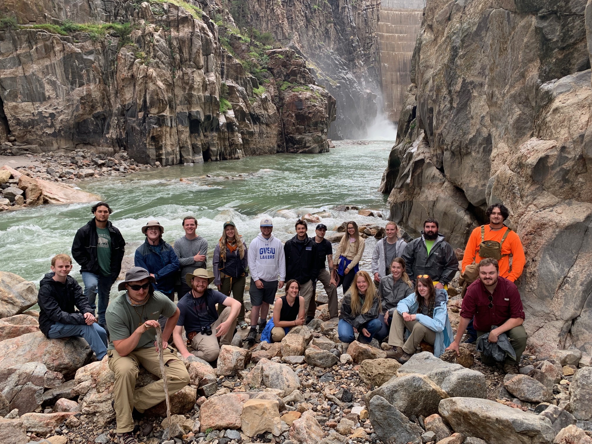
Field Geology. 1916
Field camp builds competence and self-confidence in working outdoors, independently and in groups, drawing inferences and conclusions from evidence, and trusting your own judgment and reasoning. This capstone course is an outdoor laboratory for testing geologic concepts, interpret the rock and fossil record, visualize three dimensional geologic relationships, make and interpret geologic maps, and evaluate data used to make maps.
Geologic Skills
- Describe and analyze sedimentary, igneous and metamorphic rocks
- Describe and name sedimentary rocks
- Describe and interpret contacts between beds
- Recognize and describe interbedding of various lithologies
- Orienteering in the field with map and compass
- Become proficient with the Brunton compass to take bearings and shoot angles
- Locating ones self on a map and in the field
- Read topographic contours
- Correlate between ground truth and the contour patterns on the map.
- Drawing and interpreting maps and cross-sections with analog and computing methods
- Practice traversing and traverse mapping
- Practice establishing stratigraphy
- Practice recognizing structural relations in field
- Map the geometric complexities of folded terranes
- Draw an accurate geologic cross-section
- Read topographic contours
- Correlate between ground truth and the contour patterns on the map.
- Make a controlled base map using plane table, alidade and total station
- Learn to contour set of points in the field
- Observe how topography influences expression of geologic units on map
- Distinguish bedrock and surficial units by their topographic expression.
- Description, interpretation, and correlation of stratigraphic sections
- Describe and measure a sequence of rocks
- Construct columnar stratigraphic section
Inference and Soft Skills
- Develop completeness and clarity of the notetaking.
- Improve illustration, sketching, and visual representation of information
- Become proficient in spatial, three-dimensional concepts and inference
- Understand the geometries of faulted rock bodies, and the geometric complexities that result from faulting.
- Understand how faulting and folding are interrelated and affect each other.
- Learn how to extrapolate/infer critical relations to large areas
- Become competent, self-reliant, and able to routinely function outdoors in unfamiliar terrain
- Gain and utilize intellectual independence and initiative
- Maintaining drive and intellectual effort
- Helping and cooperating on teams
- Maintaining group morale and building an inclusive and safe social environment
- Maintaining safe field practices
Application
If you are ready to begin applying to the program, complete the online application
form by February 1.
You will be notified if you have been accepted to the program by the middle of February.
You must submit the required forms and payments by the following due dates. We must
make early reservations and guarantee numbers to facilities used by the Field School.
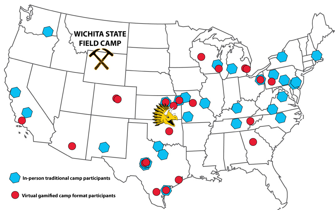
Previous Field Camps (2013-present)
We thank donations from alumni and friends that have helped offset costs associated with running the program. These savings are directly passed on to our students through reduction of fees. We would particularly like to thank:
- Woolsey Family Fund for Geology Field Camp
- Thornton Anderson Field Camp Fund
- Richard Stoneburner Field Camp Fund
Our ability to study the varied geology of the Bighorn Basin and greater Yellowstone area would not be possible without the permission of landowners and federal agencies. Thanks are extended to:

